
Spatial Analysis
Historical maps and GIS views of neighborhood conditions, vehicle records, terrain, land cover, and parcels.
Why it matters
Different planning questions require different geographic comparisons. Maps bring neighborhood indicators, terrain, land cover, and property locations into a shared view so their spatial patterns and constraints can be inspected.
My contribution
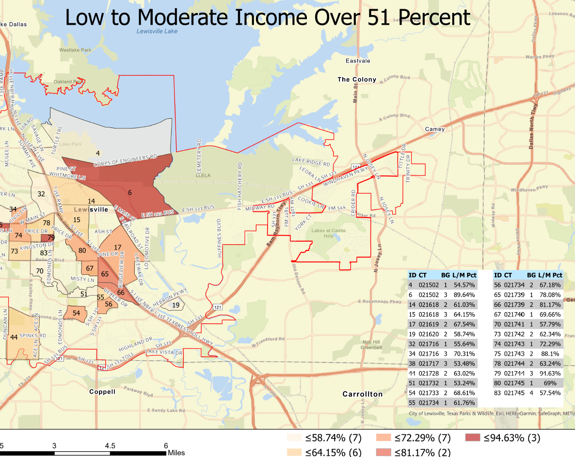
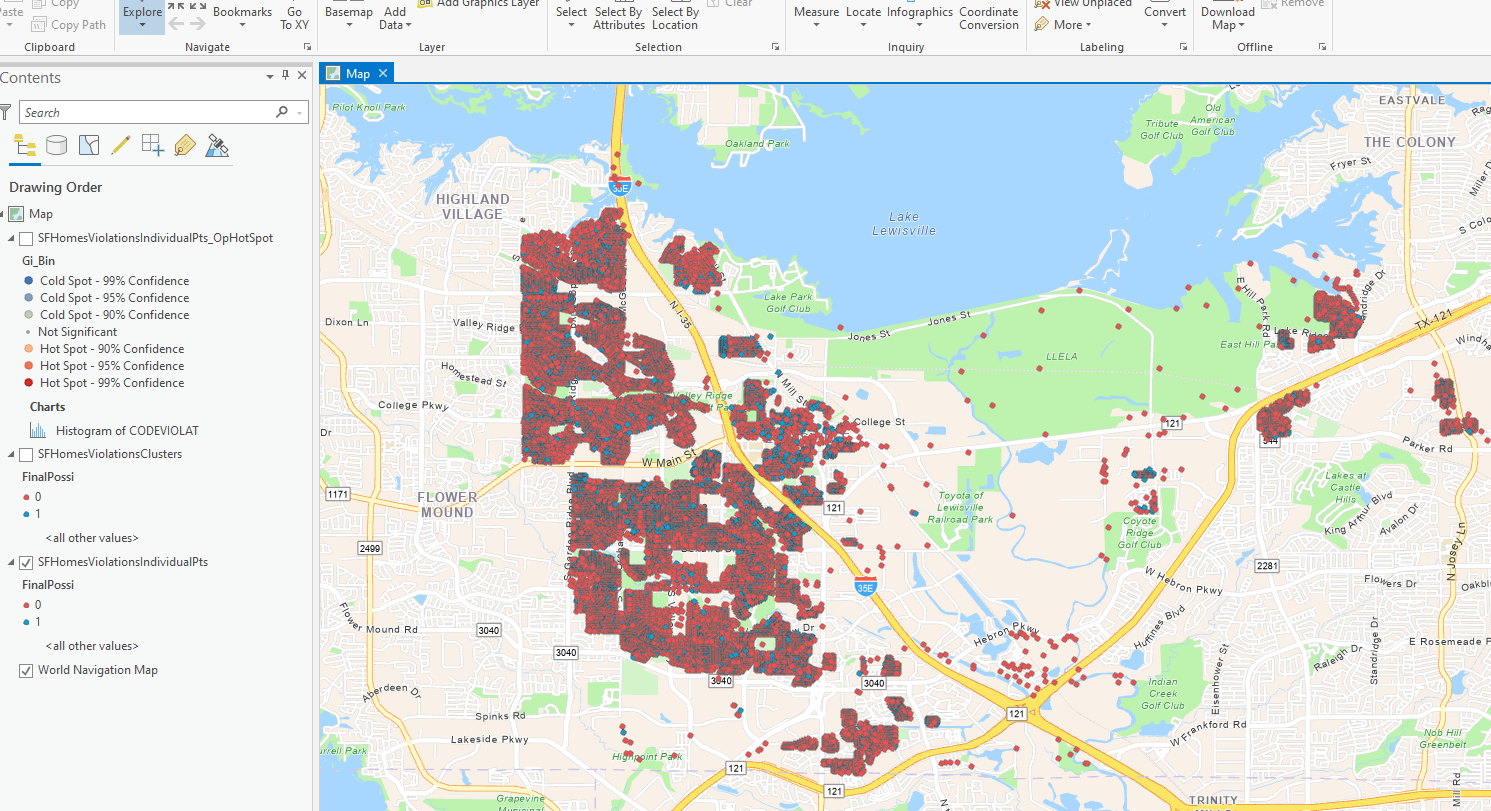
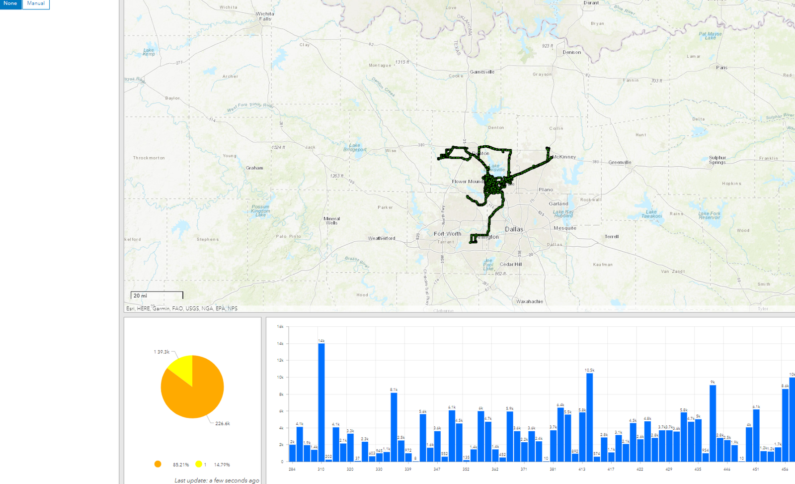
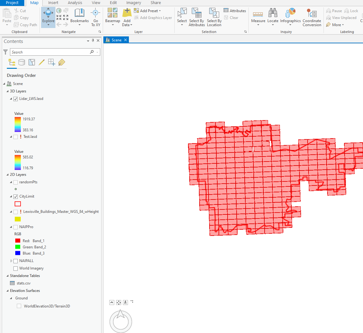
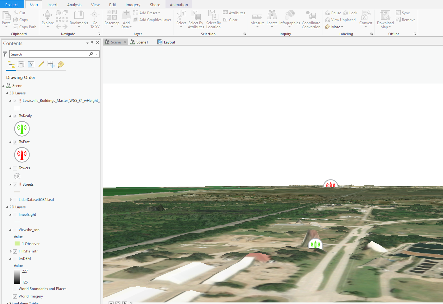
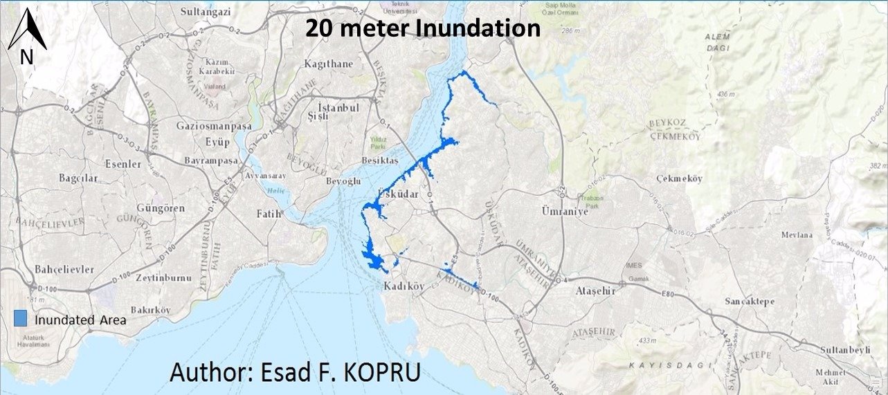
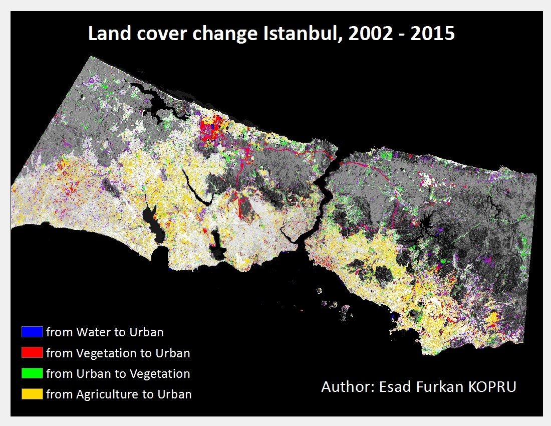
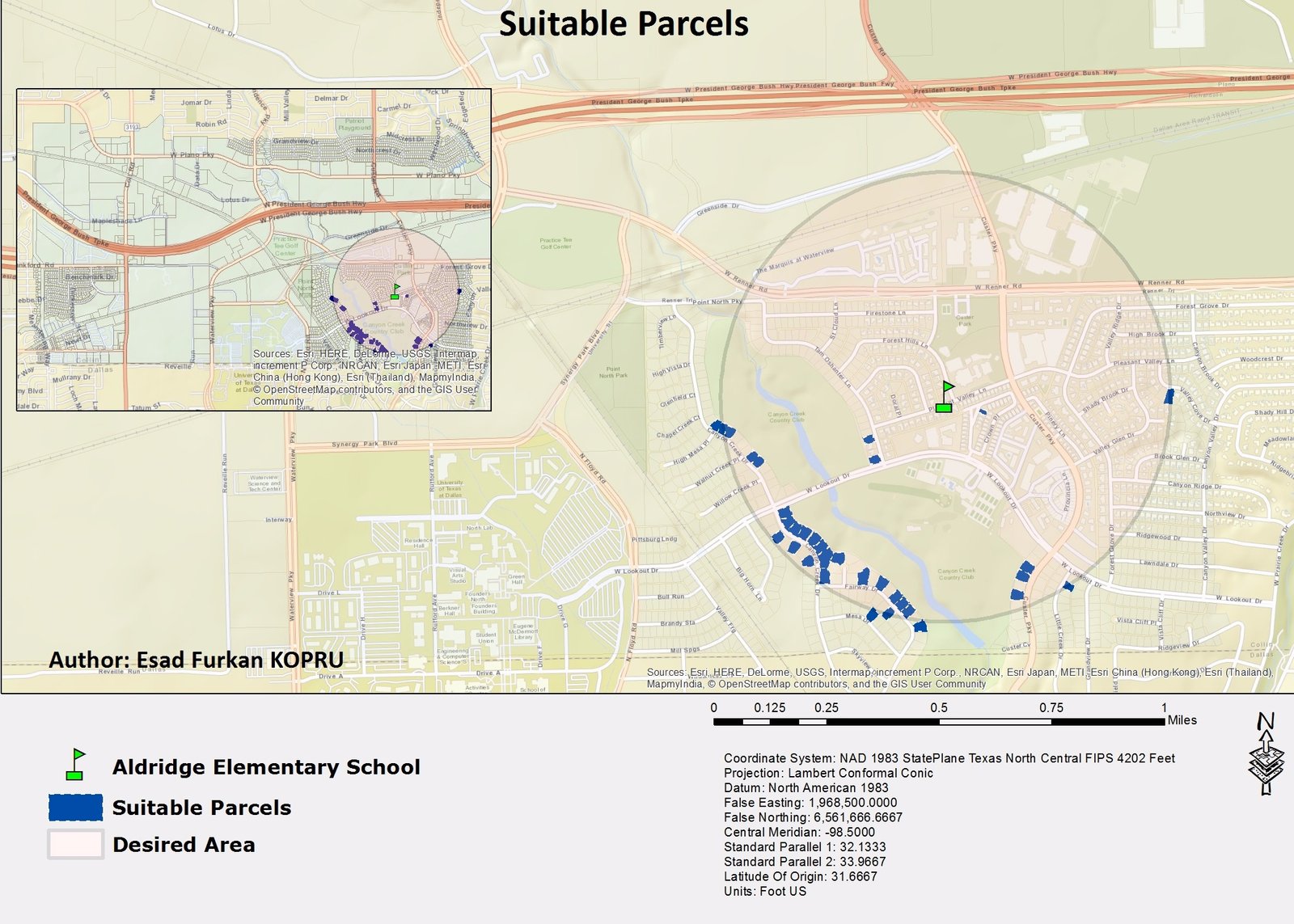
I matched the analysis to each geographic question: mapped income and property records for neighborhood context, terrain for visibility and inundation scenarios, land-cover comparisons for change, and spatial screening for parcel suitability. The retained examples also include vehicle-history reporting and LiDAR coverage.
Result
Eight historical figures show income context, property records, vehicle history, LiDAR coverage, a visibility-analysis scene, an inundation scenario, land-cover change, and parcel screening.
Tools
- GIS
- ArcGIS Pro
- Spatial analysis
- Remote sensing
These screenshots show previous work; the full datasets and methods are not included.
Project gallery
Historical portfolio screenshots. 8 images. Select an image to view it full size.
Technical details
Selected historical portfolio examples
Planning questions often need several types of geographic data to be considered together.
- Combine maps and attribute data for a specific question.
- Use terrain views, land-cover comparisons, or parcel screening as appropriate.
- Present the saved analyses in maps and reporting views.