
Python Scripts & Notebooks
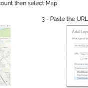
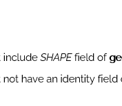
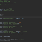
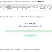
Geocode CSV Files with a Python-Flask Application


Extract parcels within a Feature Layer’s extent, join them with account information, and truncate the corresponding SDE tables.
Overwrite hosted layers on ArcGIS Online using Jupyter Notebooks.
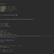
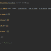
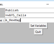
Convert SQL tables into GIS layers and publish them as map services to ArcGIS Server, with an intuitive graphical user interface.

All rights reserved © EK 2025