
Python Scripts & Notebooks
Automating repetitive GIS tasks with Python, FME, and SQL.
Why it matters
Recurring GIS work depends on repeatable conversions, database updates, and publishing steps. Automating those steps and providing task interfaces makes the workflows reusable, with a documented time reduction for one process.
My contribution
I automated 50+ ETL workflows for recurring GIS data processing and built interfaces for running common tasks. The work connected data conversion, database updates, and map publishing in repeatable processes.
Result
One two-hour manual process became a two-minute automated job. I also managed 8+ ArcGIS Servers, ArcGIS Portal, and 90+ hosted feature services.
Tools
- Python
- SQL
- FME
- Flask
- Qt
- Tkinter
The time saving applies to one workflow; full source projects and datasets are not included.
Project gallery
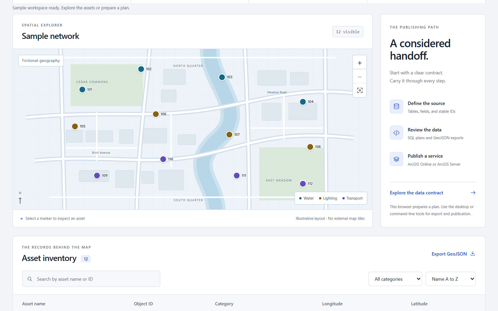
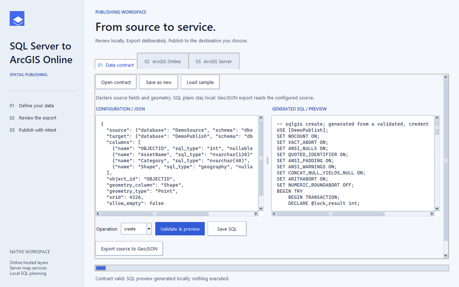
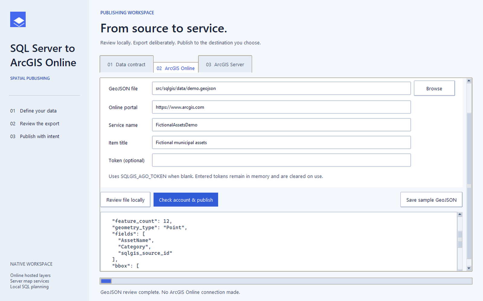
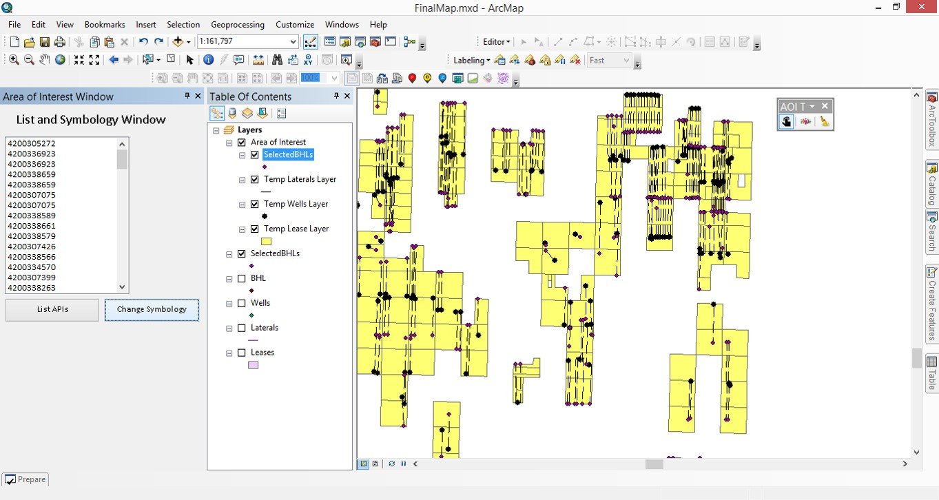
Current applications and analysis outputs, with synthetic demos and public R sample data identified in captions. ModelBuilder and VB.NET examples are historical. 15 images. Select an image to view it full size.
Python applications and notebooks


SQL, JavaScript, and R


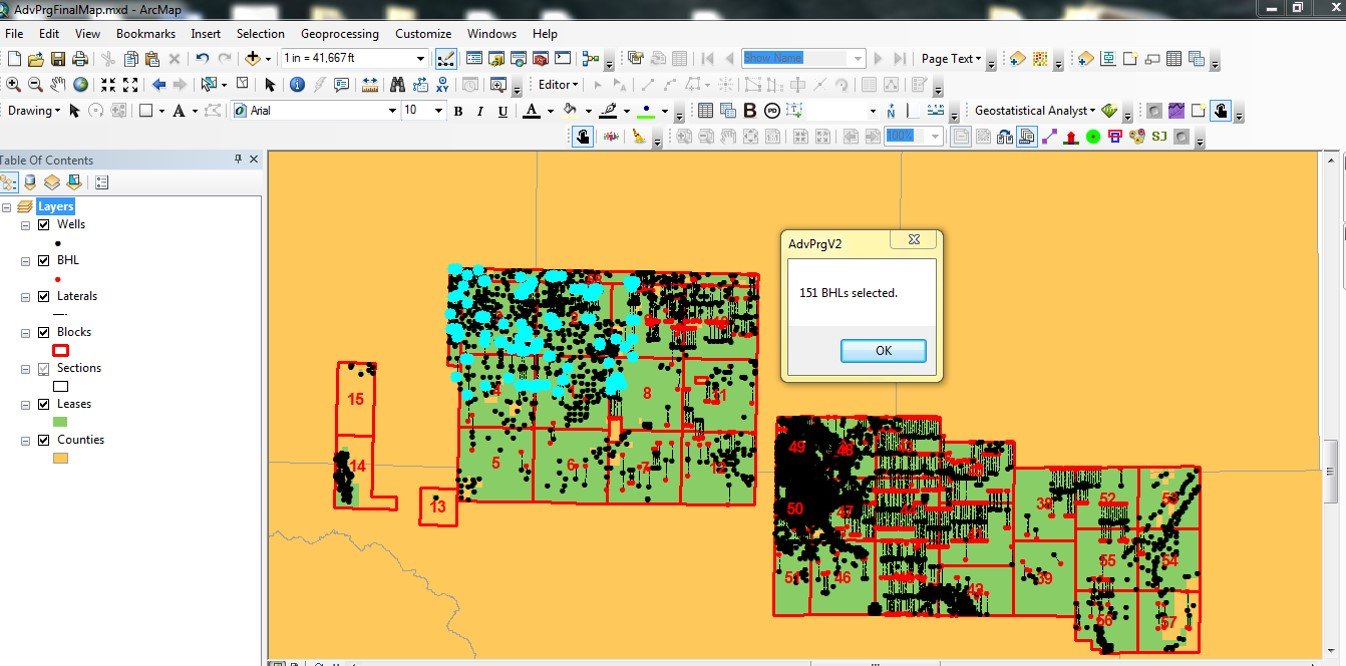
ModelBuilder and VB.NET

Technical details
Professional · Geospatial Software Developer / Data Scientist
Data conversion, database updates, and map publishing involved repeated manual steps.
- Convert files and tables into spatial data.
- Automate database updates with SQL and Python.
- Build simple interfaces and publishing workflows for recurring tasks.