
Code Enforcement Violations
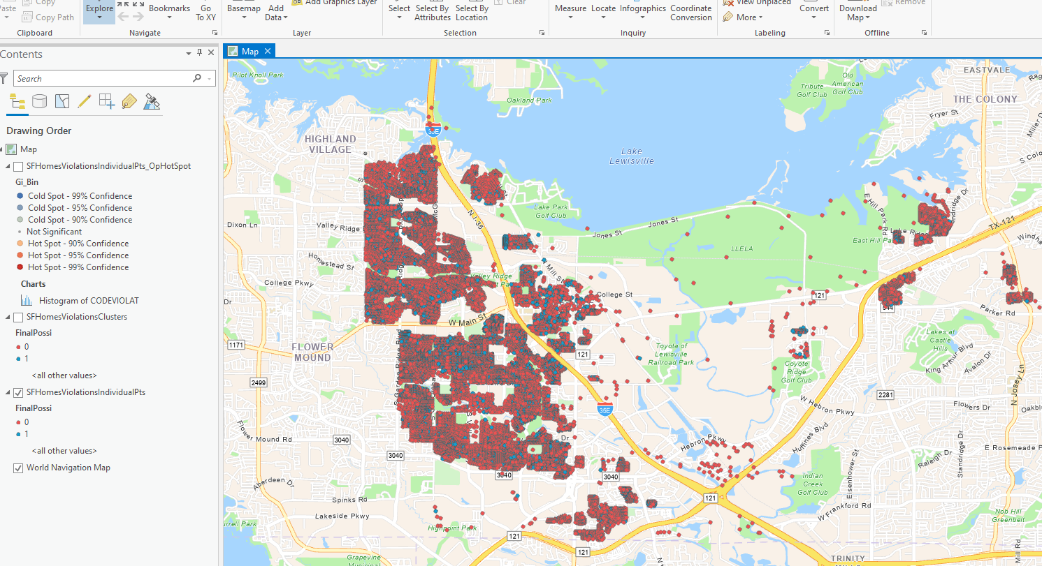
A historical map comparing code-violation records at rental and non-rental homes.
Why it matters
Mapping property records makes their geographic distribution easier to inspect alongside rental and non-rental classifications.
My contribution
The preserved ArcGIS map displays property records with rental and non-rental classifications. Its layer list also includes cluster and hot-spot analysis layers. The screenshot and historical application link provide context for the earlier work.
Result
A mapped comparison of property records across the study area, with classifications available for visual inspection.
Tools
- ArcGIS Pro
- Spatial analysis
- Cartography
The retained figure does not establish a difference in violation rates or a causal relationship. The historical application uses a retired template and may no longer load; original source files and datasets are not included.
Project gallery
Historical portfolio screenshots. 1 image. Select an image to view it full size.
Technical details
Historical portfolio example
Inspecting where code-violation records occur across rental and non-rental properties.
- Display property records and their classifications on a common basemap.
- Keep the saved map and historical application reference available for inspection.